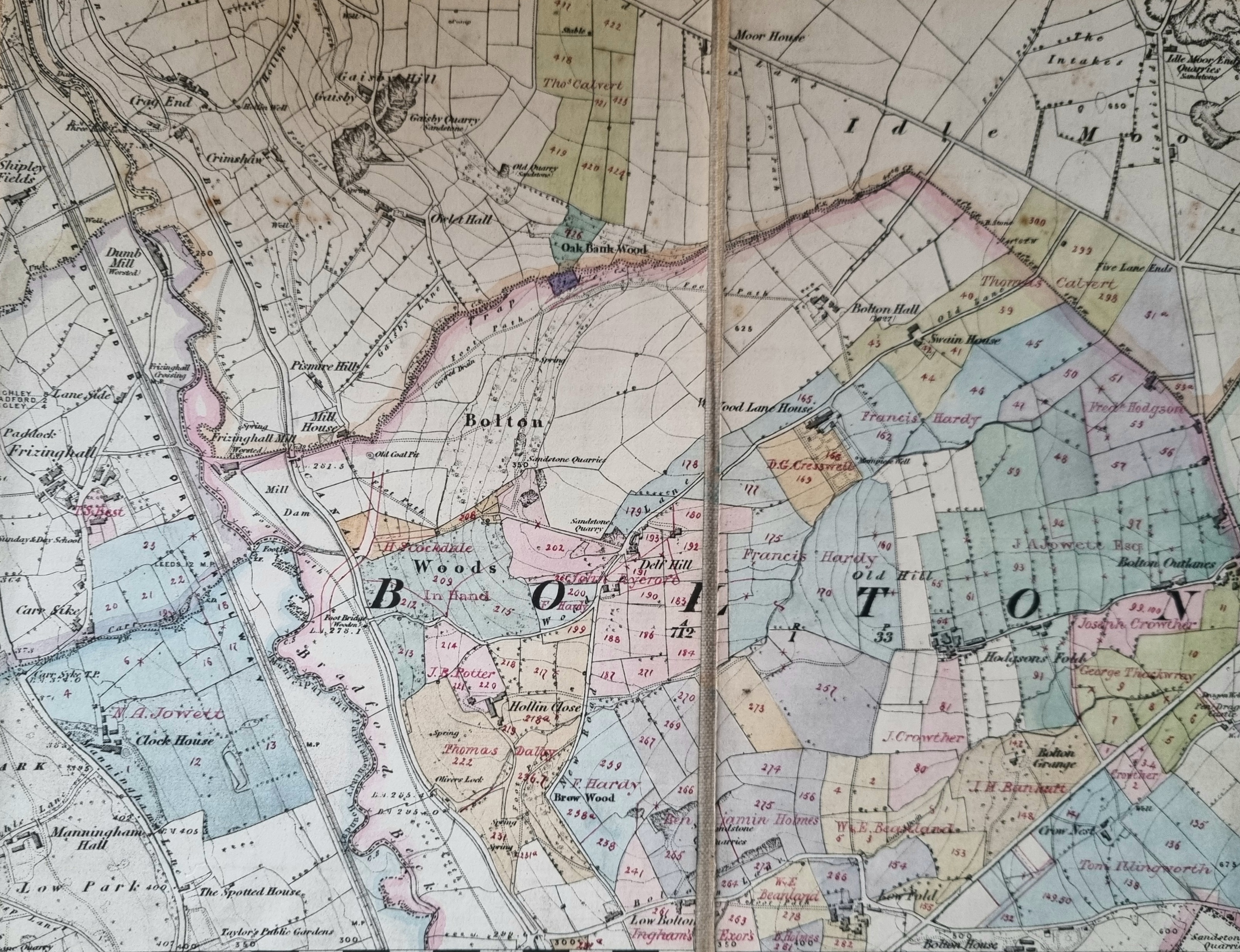
This is a small portion of the Clockhouse Estate. It is basically the 1850 OS map of the area augmented and annotated by the estate’s agent. Estate land has been tinted, and the tenants’ names are added. I assume fields marked ‘in hand’ are being managed as part of a ‘home farm’.
The owner at the time was Nathan Atkinson Jowett who lived at Clockhouse (bottom left). Miss Sarah Jowett who died in 1840 was the last member of the original Jowett family and she left the estate to George Baron whose name regularly features on Bradford maps. Baron died in 1854.
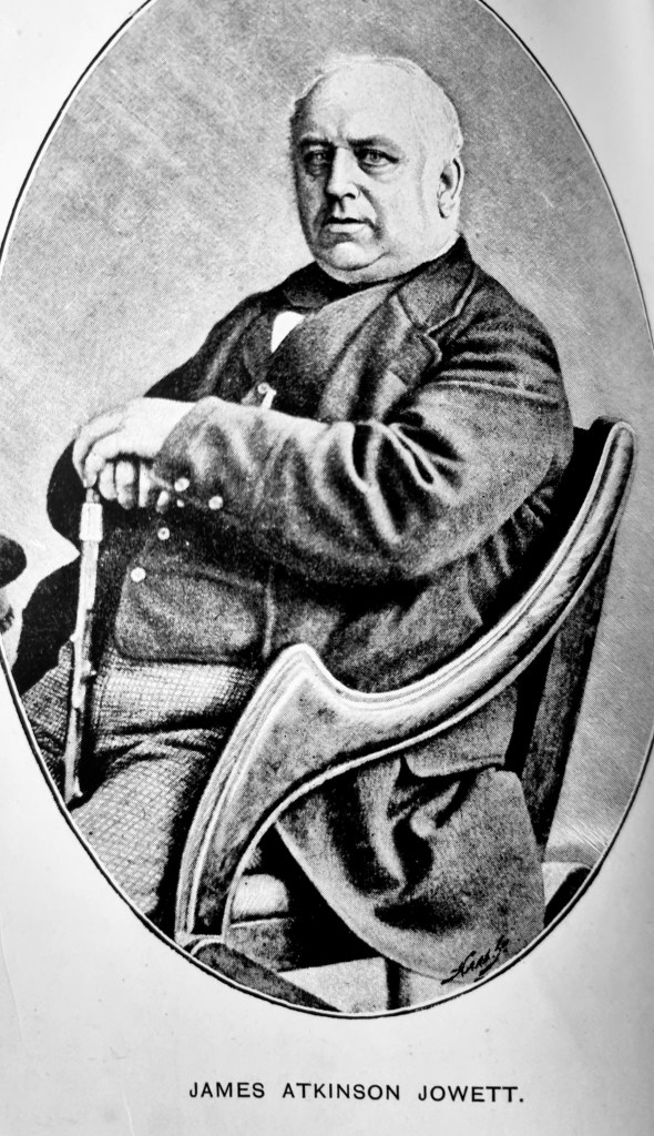
After a prolonged court case Nathan Atkinson Jowett (1790-1871), and his son James Atkinson Jowett, 1817-1886, (pictured) inherited the Clockhouse and its associated estate.
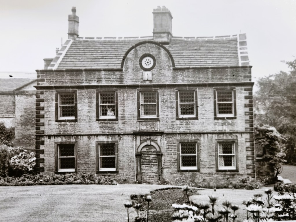
The Local Studies Library curates a number of old photographs which illustrate properties in the area, some were part of the estate but others were in the possession of neighbouring land owners. To begin with it has a good photograph of the Clockhouse itself, which is now part of the Bradford Boys Grammar School.
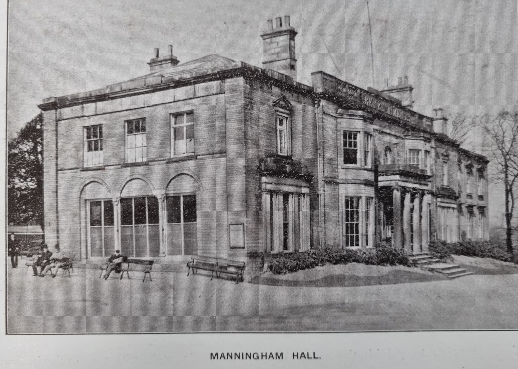
Clockhouse was close to Manningham Hall, original home of Ellis Cunliffe Lister (died 1853) and Samuel Cunliffe Lister (Lord Masham) who were both textile magnates.
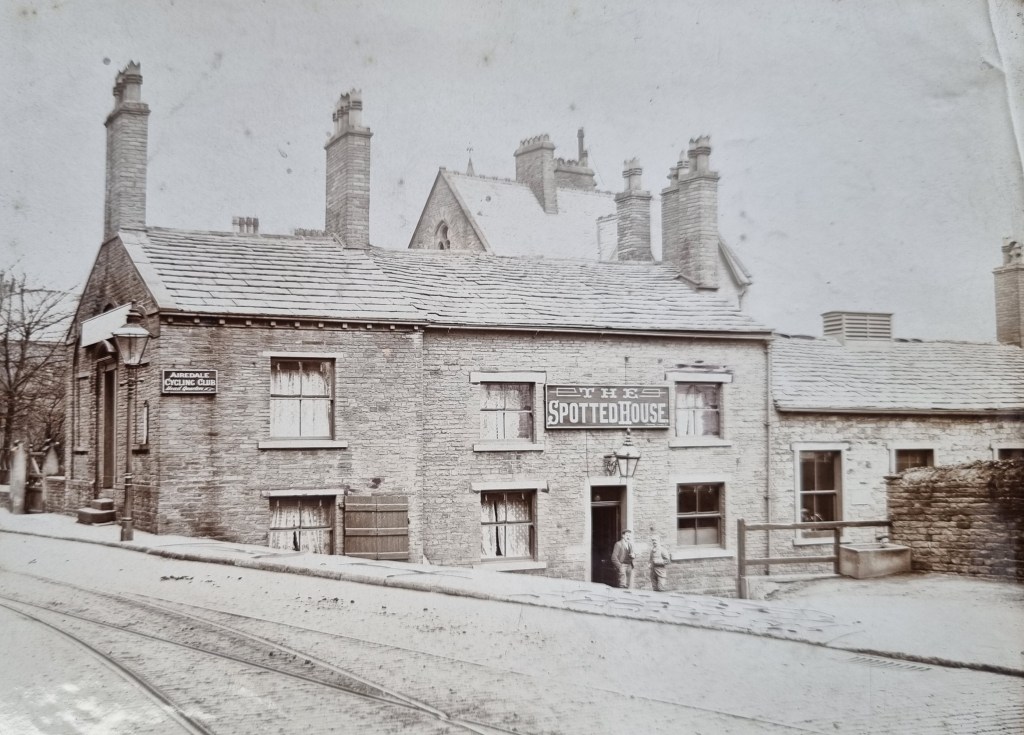
On the other side of Manningham Lane/Keighley Road was The Spotted House Inn. This remained licenced premises well within living memory. It is no longer the case but the building survives.
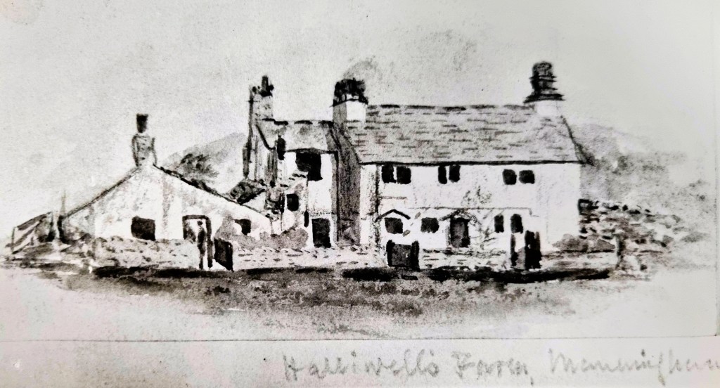
This early drawing suggests that before becoming an inn the building was agricultural, being known as Halliwells Farm.
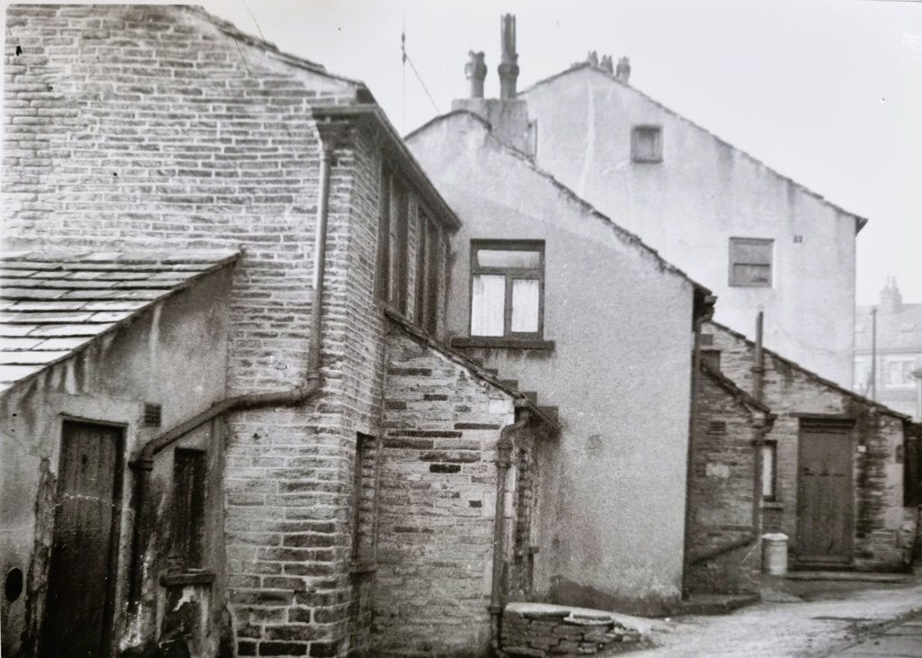
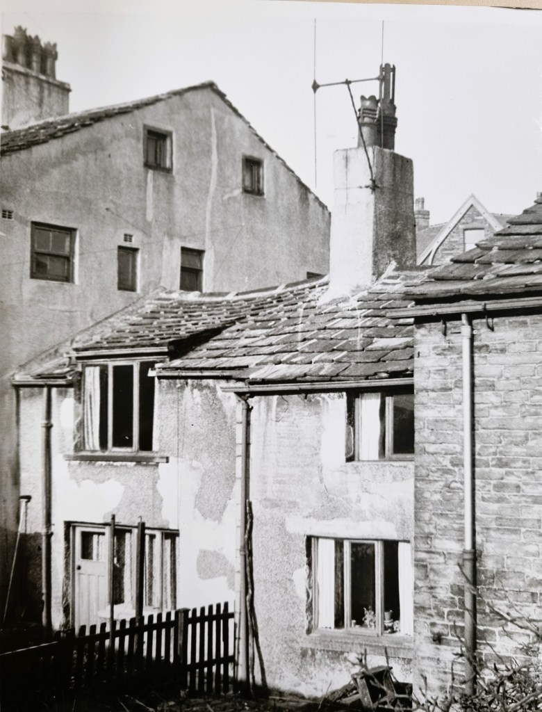
The boundary between Manningham and Heaton in this region is the beck called Carr Syke; it eventually joins the Bradford Beck. The road to Frizinghall runs parallel to its course, and the name Carr Syke or Sike also seems to have been applied to a cluster of cottages adjacent to it. These images are later than the others and probably date from the early 1960s.
Cross the railway line and the Beck and you are in the parish of Calverley.
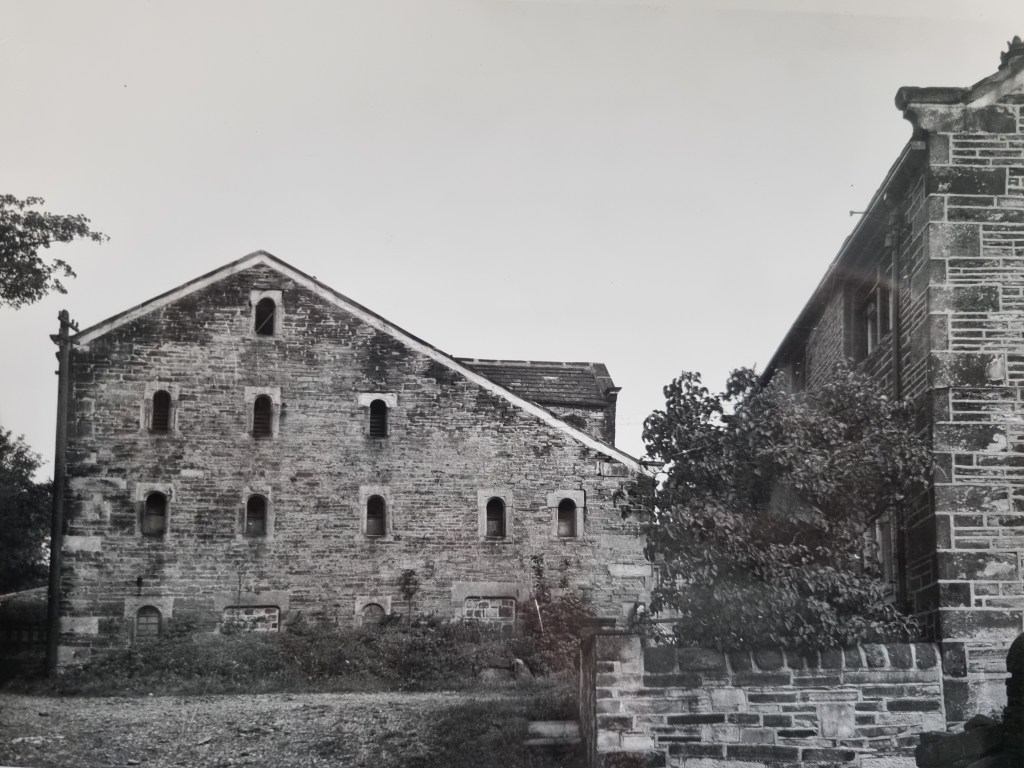
This is Hollin Close Farm; you should have no difficulty locating this L-shaped house and barn on the map. There are other points of interest displayed. In Bolton and Bolton Woods there is quite extensive stone quarrying, and at least one Old Pit. Note Pismire Hills: a pismire was an old name for an ant.


After the inheritance James Atkinson Jowett had Grove House built for himself in 1860 on land now occupied by Hanson School. Grove House was his residence and Nathan ( his father) resided at Clock House.
LikeLike
I remember Hollin Close Farm when I lived on Kingsley Avenue during the 1970s. It was abandoned and then burnt down in the early 1970s. I remember walking amongst the ruins of buildings shown in the last photo. The farm land remained undeveloped for much of my childhood and was my favourite ‘playground’.
LikeLike